04-09-2026
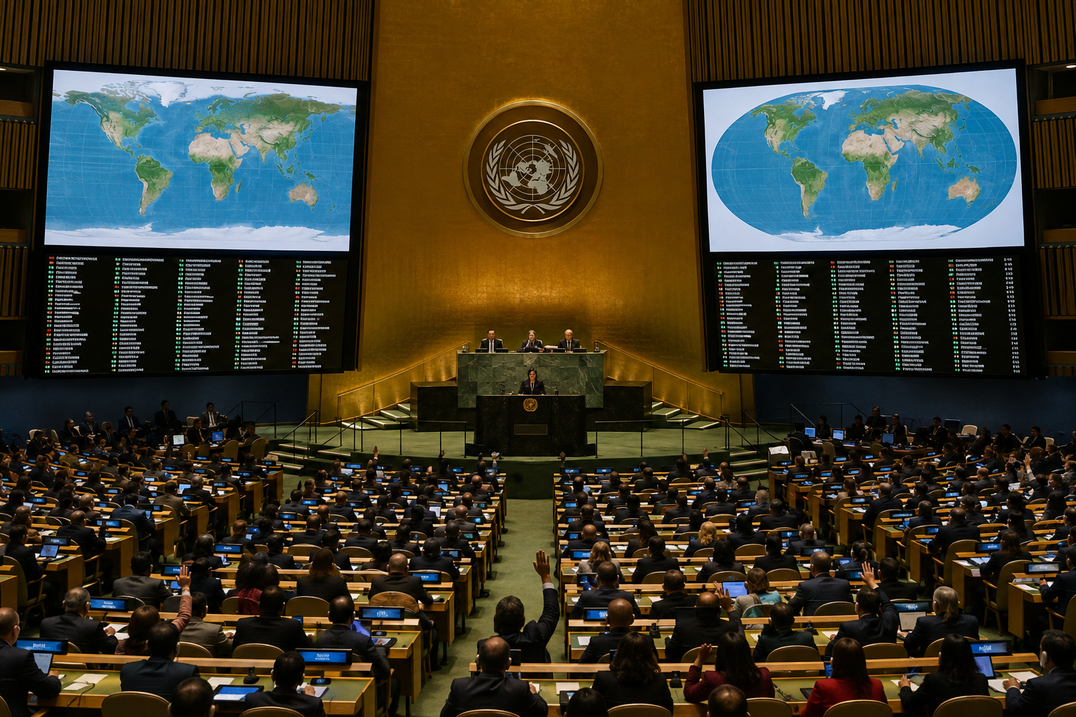
On September 4, 2026, the United Nations General Assembly approved a resolution encouraging member states to move away from the Mercator projection and adopt the Equal Earth projection, which more accurately represents the relative sizes of the world’s continents. The resolution was spearheaded by several African countries, with Togo playing a leading role, and was co-sponsored by France. It received 164 votes in favor, while the United States voted against and six countries abstained.
The Mercator projection was created by Flemish cartographer Gerardus Mercator in 1569 primarily for maritime navigation. Although it preserves the shapes and angles of landmasses, it significantly distorts their relative areas when depicting the spherical Earth on a flat surface. Regions near the poles, including Europe, North America and Greenland, appear much larger than they are, while Africa, South America, South Asia and Oceania appear smaller.
Developed by a group of cartographers in 2018, the Equal Earth projection preserves the relative surface areas of continents while attempting to maintain their recognizable shapes. Togo’s Foreign Minister Robert Dussey argued that maps influence education and collective perceptions and are therefore not neutral when they present distorted images of the planet.
France also announced that it would abandon the Mercator projection. Foreign Minister Jean-Noël Barrot said the traditional map gives disproportionate visual prominence to the United States, Russia and China while making Greenland appear nearly as large as Africa. He acknowledged that changing maps does not change the world, but argued that correcting a distorted representation is “an act of truth.” The initiative also comes as France seeks to improve relations with African countries, particularly former colonies where diplomatic ties have been strained.
Entities: United Nations General Assembly, Equal Earth cartographic projection, Mercator projection, Africa, Togo • Tone: analytical • Sentiment: neutral • Intent: inform
04-09-2026
The United Nations General Assembly voted on Friday to support a resolution encouraging member states to use the Equal Earth cartographic projection instead of the traditional Mercator map. The resolution was backed by 164 countries, while the United States voted against it and six countries abstained. The initiative was spearheaded by several African countries and driven by Togo, whose foreign minister, Robert Dussey, argued that maps shape education, imagination, and public perceptions of the world.
The Equal Earth projection presents a more proportionally accurate depiction of continental land areas. Under this projection, Africa appears larger relative to North America and Europe, whose sizes are exaggerated on many versions of the Mercator map. The Mercator projection was created by Flemish cartographer Gerardus Mercator in 1569, primarily to assist maritime navigation. Although useful for plotting courses, it significantly distorts the apparent size of regions farther from the equator.
The UN resolution describes Equal Earth as a relevant option for improving the accuracy of global cartographic representation and urges countries to adopt it in place of Mercator. Togo’s government framed the change as more than a technical adjustment, suggesting that inaccurate maps can reinforce distorted views of the world across generations. The article presents the vote as a symbolic effort, led by African states, to address longstanding geographic and representational imbalances in commonly used maps. It does not indicate that the resolution legally requires countries or institutions to abandon the Mercator projection.
Entities: United Nations General Assembly, Equal Earth cartographic projection, Mercator projection, Africa, North America • Tone: analytical • Sentiment: neutral • Intent: inform
04-09-2026
The article reports that the United Nations General Assembly is expected to vote on a Togo-sponsored resolution urging the world to move away from the Mercator projection and adopt maps that more accurately represent the relative sizes of countries and continents. Togo says the resolution has backing from the African Union’s other 54 member states, although the total number of sponsors was not specified.
The Mercator projection, created by Flemish cartographer Gerardus Mercator in 1569 for maritime navigation, remains widely used in education, technology and government. However, it significantly enlarges regions near the poles and minimizes areas close to the equator. Africa, for example, appears roughly comparable in size to Greenland on the projection, despite being about 14 times larger. Supporters of the proposed change say the distortion has contributed to Western-centered perceptions and helped reinforce inequalities in education, development policy and international affairs.
France’s foreign minister, Jean-Noël Barrot, expressed support for replacing Mercator with projections better suited to specific uses. The article links France’s position partly to its efforts to improve relations with former colonies. Togo’s campaign, known as #CorrectTheMap, promotes the 2018 Equal Earth map, an equal-area design developed by international cartographers. The African Union endorsed the campaign in 2025.
Advocates describe the issue as part of a broader effort to decolonize global education and give Africa greater control over how it is represented. Critics of Mercator, including historian Arno Peters, have long promoted alternatives such as the Gall–Peters projection. Although UN resolutions are not legally enforceable, approval could influence school curricula and digital mapping tools. Togo hopes to coordinate implementation with Unesco, the African Union and technology companies including Google Maps. Supporters are encouraged by the passage of a Ghana-sponsored UN resolution earlier in the year addressing the transatlantic slave trade.
Entities: United Nations General Assembly, Togo, Robert Dussey, African Union, France • Tone: analytical • Sentiment: neutral • Intent: inform
04-09-2026
The United Nations General Assembly has voted overwhelmingly to support replacing the traditional Mercator world map with a projection that more accurately represents the relative size of continents, particularly Africa. The resolution, sponsored by Togo on behalf of the African Union, received 164 votes in favour, while the United States voted against it and six countries abstained. Because UN resolutions are not legally enforceable, governments and institutions will not be required to abandon the Mercator projection, but the decision is expected to influence school curricula, public education, technology and government mapping practices.
The Mercator projection, created by Flemish cartographer Gerardus Mercator in 1569 for maritime navigation, enlarges areas near the poles and diminishes regions close to the equator. As a result, Greenland appears similar in size to Africa even though Africa is approximately 14 times larger. Supporters of the change argue that this distortion has affected global perceptions of Africa and the global south, reinforcing educational, cultural, geopolitical and socioeconomic biases. Critics of the Mercator map have described its legacy as a form of “cartographic colonialism.”
Togo’s campaign, known as #CorrectTheMap, promotes the 2018 Equal Earth projection, developed by an international team of cartographers. France supported the resolution and said it would adopt the Eckert IV projection, which also more accurately depicts land areas. Advocates believe that using equal-area maps could help decolonise educational materials and better reflect Africa’s demographic, economic and geopolitical importance.
Togo plans to work with Unesco, the African Union and technology companies, including Google Maps, on implementation. Foreign minister Robert Dussey said the initiative was not primarily political but a scientific effort to correct inaccurate representations and give African countries greater influence over how the continent is portrayed.
Entities: United Nations General Assembly, Togo, African Union, Mercator projection, Equal Earth projection • Tone: analytical • Sentiment: neutral • Intent: inform